
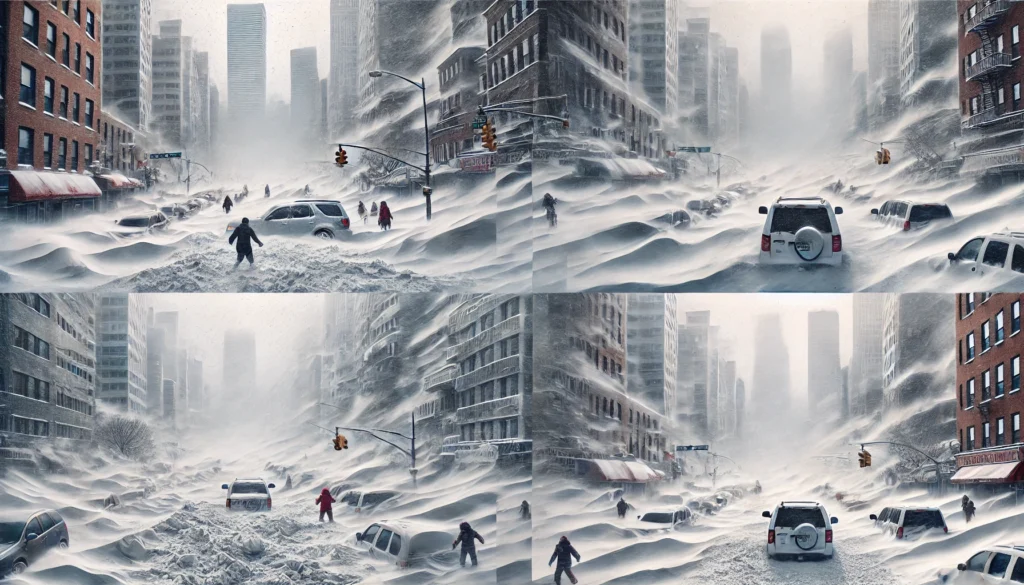
An active weather pattern is set to bring back-to-back winter storms to the Midwest and Northeast through the weekend, with snow and ice expected to create hazardous travel conditions. Here’s what you need to know about the upcoming storms and their potential impacts.
Storm No. 1: Wednesday-Thursday
The first storm will develop as low pressure pulls moisture into cold high pressure, creating a wintry mix of snow, sleet, and freezing rain across the Midwest, Great Lakes, mid-Atlantic, and Northeast. The system will intensify by Wednesday night, bringing dangerous conditions to several regions.
Midwest and Great Lakes Outlook
- Freezing rain and sleet will begin in northern Missouri and Iowa before spreading to the southern Great Lakes, including Chicago, Cleveland, and Detroit, by Wednesday night. Even small amounts of ice could make roads treacherous, so avoid travel if possible.
- Central and northern Minnesota into northern Michigan are likely to see mostly snow, with minimal ice accumulation.
Northeast Outlook
- The mid-Atlantic region, including Baltimore, Philadelphia, and Washington, D.C., could experience freezing rain and sleet Wednesday night into early Thursday morning before transitioning to rain.
- Along the I-95 corridor from New York City to Boston, precipitation may start as snow or a wintry mix late Wednesday night before changing to rain on Thursday.
- Central Pennsylvania could see significant icing, while northern New England is expected to remain all snow.
Snow and Ice Forecast
- Light snowfall totals of a coating to a few inches are expected from North Dakota and Minnesota to upstate New York and northern New England.
- Near and west of I-95, snow accumulation will be light before transitioning to a wintry mix and rain.
- Freezing rain could create hazardous travel in areas shaded pink on weather maps, particularly in the central Appalachians, where heavier ice may cause tree damage and power outages.
Storm No. 2: Saturday-Sunday
A second winter storm will impact many of the same areas over the weekend, bringing another round of snow and ice. Low pressure will again spread moisture into retreating cold air, setting the stage for wintry precipitation.
- Snow and ice are likely to develop by Saturday across the upper Midwest, Great Lakes, mid-Atlantic, and Northeast.
- The I-95 corridor, including New York City and Boston, may start with a burst of snow before transitioning to a wintry mix or rain.
- This system will move quickly, with most snowfall ending in New England by Sunday as the storm departs.
Next Week: More Winter Weather Ahead
Long-range forecasts suggest the active winter storm pattern could continue into next week, with additional rounds of snow and ice possible in the Midwest and East. Colder air moving southward may shift the focus of wintry precipitation farther south compared to this week’s storms. Stay tuned for updates as the forecast evolves.
Safety Tips for Winter Storms
- Avoid Travel: Icy roads and reduced visibility make driving dangerous. Postpone trips if possible.
- Prepare for Power Outages: Have flashlights, batteries, and emergency supplies ready.
- Dress Warmly: Layer up to protect against freezing temperatures.
- Check Local Forecasts: Stay updated on the latest weather conditions in your area.
For the most accurate and up-to-date information, visit weather.com or download The Weather Channel app. Stay safe and prepared as these winter storms unfold.

