
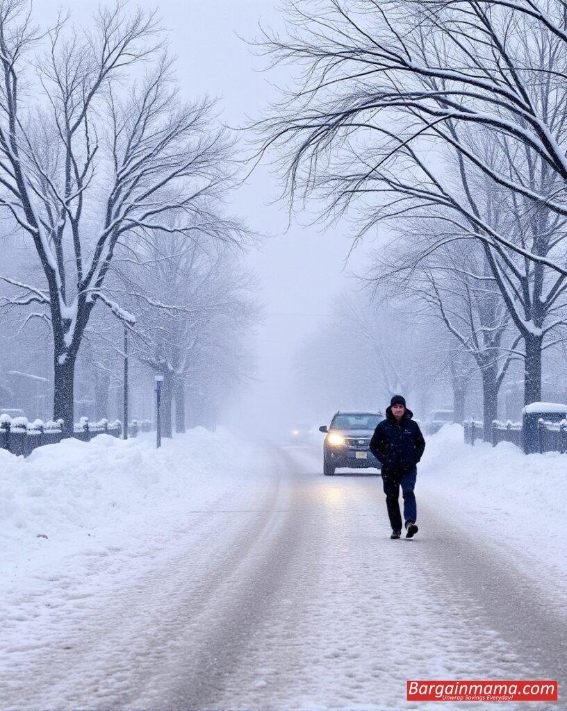
A significant weather pattern shift is bringing unseasonably cold temperatures to the central and eastern United States this week. Following an abnormally warm October, a blast of frigid Canadian air is set to sweep across the region, creating a more November-like atmosphere.
Autumn Chill Arrives with Cold Front
A widespread cold front that originated in the north-central U.S. over the weekend is now advancing across the eastern half of the country. By Monday evening, areas that have been experiencing prolonged warmth will finally feel the autumn chill. The cold front will cause a notable temperature drop, with many areas experiencing temperatures 10 to 15 degrees below average by midweek.
Midwest and South Brace for Chilly Weather
The coldest temperatures were initially concentrated in the Plains and Midwest on Monday, but the chill is expected to spread further south and east as the week progresses. Tuesday will see a dip in high temperatures across the Midwest, Northeast, and South. Chicago, for instance, may experience its coldest day since April on Tuesday, with temperatures struggling to reach 50°F.
As the week continues, an even colder air mass from Canada will push southward, affecting areas beyond the Midwest. Wednesday is anticipated to be the coldest day for millions, with daytime highs only reaching the 40s and 50s in much of the region. Major cities like Washington, D.C., and Atlanta are expected to see significant temperature drops.
The National Weather Service in Atlanta has emphasized that this pattern will bring “truly fall-like weather” through the start of the weekend. Atlanta, which hasn’t seen a high temperature below 70°F since May, will likely experience a noticeable chill, with temperatures remaining in the 60s through Friday.
Frost and Freeze Alerts Issued
As temperatures plummet, overnight lows are expected to dip below freezing in some areas, particularly in the Northeast. Frost and freeze conditions are likely for several nights this week, and alerts have already been issued. The National Weather Service in State College, Pennsylvania, has warned of freeze alerts through Tuesday morning, with more expected in the coming days for other parts of the Northeast and mid-Atlantic.
These freezing conditions pose risks to unprotected plants and may signal the end of the growing season for certain regional crops. Additionally, the cold temperatures can be dangerous for individuals without access to adequate heating.
Western North Carolina, still recovering from Hurricane Helene, is also expected to face freezing or near-freezing low temperatures from Tuesday through Thursday, adding another layer of concern for residents.
Cold Snap to Subside by Late Week
While the coldest temperatures are expected midweek, conditions should return to more typical October levels by the weekend for much of the central U.S. and Northeast. The southern Appalachians and Southeast will continue to feel the chill through Friday, with highs in the 60s expected to persist. However, by Saturday, more seasonable temperatures will return, with highs in the 70s and 80s across the Southeast and 60s and 70s in the Midwest and Northeast.
As millions prepare for this dramatic weather shift, it’s crucial to stay informed and protect vulnerable plants, people, and pets from the sudden temperature drop. Frost and freeze conditions could persist for a few days before autumn’s typical warmth returns.
Stay updated on the latest alerts and prepare for the cold snap, which could bring the chilliest weather of the season so far.

