
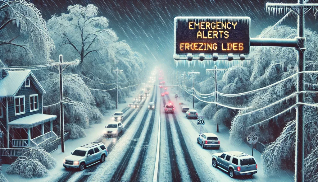
A powerful winter storm has unleashed snow, sleet, and freezing rain across the mid-Atlantic and Northeast, disrupting daily life for millions. Over 100 million people across 22 states are under winter weather alerts as the storm creates hazardous travel conditions, triggers school closures, and raises the risk of power outages.
The storm, which previously battered the Midwest, moved into the Northeast on Thursday, coating roads and power lines with ice. Major cities like Washington, D.C., Baltimore, Philadelphia, and New York are experiencing treacherous commutes, while the National Weather Service (NWS) has issued ice storm warnings for parts of West Virginia, Maryland, and Pennsylvania.
Ice and Snow Accumulation Forecast
The NWS predicts up to a quarter-inch of ice in western Maryland, West Virginia, and central Pennsylvania, with some areas potentially seeing half an inch. Snowfall is expected to range from 1 to 3 inches in northeastern Pennsylvania, eastern New York, and parts of New England, with higher elevations receiving up to 6 inches. The combination of ice and snow has made roads dangerously slick, particularly on bridges and overpasses.
Why Ice Storms Are Dangerous
Ice storms pose significant risks due to their ability to create hazardous conditions almost instantly. “Even a light glaze of ice can make roads treacherous in seconds,” said AccuWeather’s chief meteorologist, Jonathan Porter. Ice accumulation also weighs down trees and power lines, increasing the likelihood of outages. “A half-inch of ice can add 500 pounds of extra weight to power lines, and tree branches can snap under the pressure,” Porter added.
The storm’s impact is exacerbated by strong winds, with gusts of 40-50 mph expected in the Great Lakes region and 30+ mph in the Northeast. These winds could further damage power infrastructure, leaving thousands without electricity.
Stormy February Ahead
This ice storm marks the beginning of what could be a turbulent February. Forecasters warn of a second winter storm arriving Saturday, bringing more snow and ice to the Midwest, Great Lakes, and Northeast. A third storm is possible early next week, potentially affecting an even larger area with colder temperatures and heavier precipitation.
Historically, February is the snowiest month in the Northeast, with the highest number of “high-impact” snowstorms, according to NOAA. However, there’s a silver lining: the arrival of “Solar Spring,” the period of rapid daylight increase, which began on February 5 and continues through early May.
Safety Tips for Winter Weather
Residents in affected areas are urged to stay off roads if possible, prepare for power outages, and avoid downed power lines. The NWS recommends keeping emergency kits stocked with essentials like flashlights, batteries, and non-perishable food. For real-time updates, visit the NWS website or follow their social media channels.
As the Northeast braces for more winter weather, the combination of ice, snow, and wind underscores the importance of staying informed and prepared. While spring may feel distant, the increasing daylight offers a reminder that warmer days are on the horizon.

